Connecticut
Massachusetts
Rhode Island
New York
New Jersey
Other States
Latest Adventures
About Mandy & Lexi
Beach Guide
FAQ
◂︎ Mandy & Lexi's Massachusetts Adventures
Chicopee
Chicopee
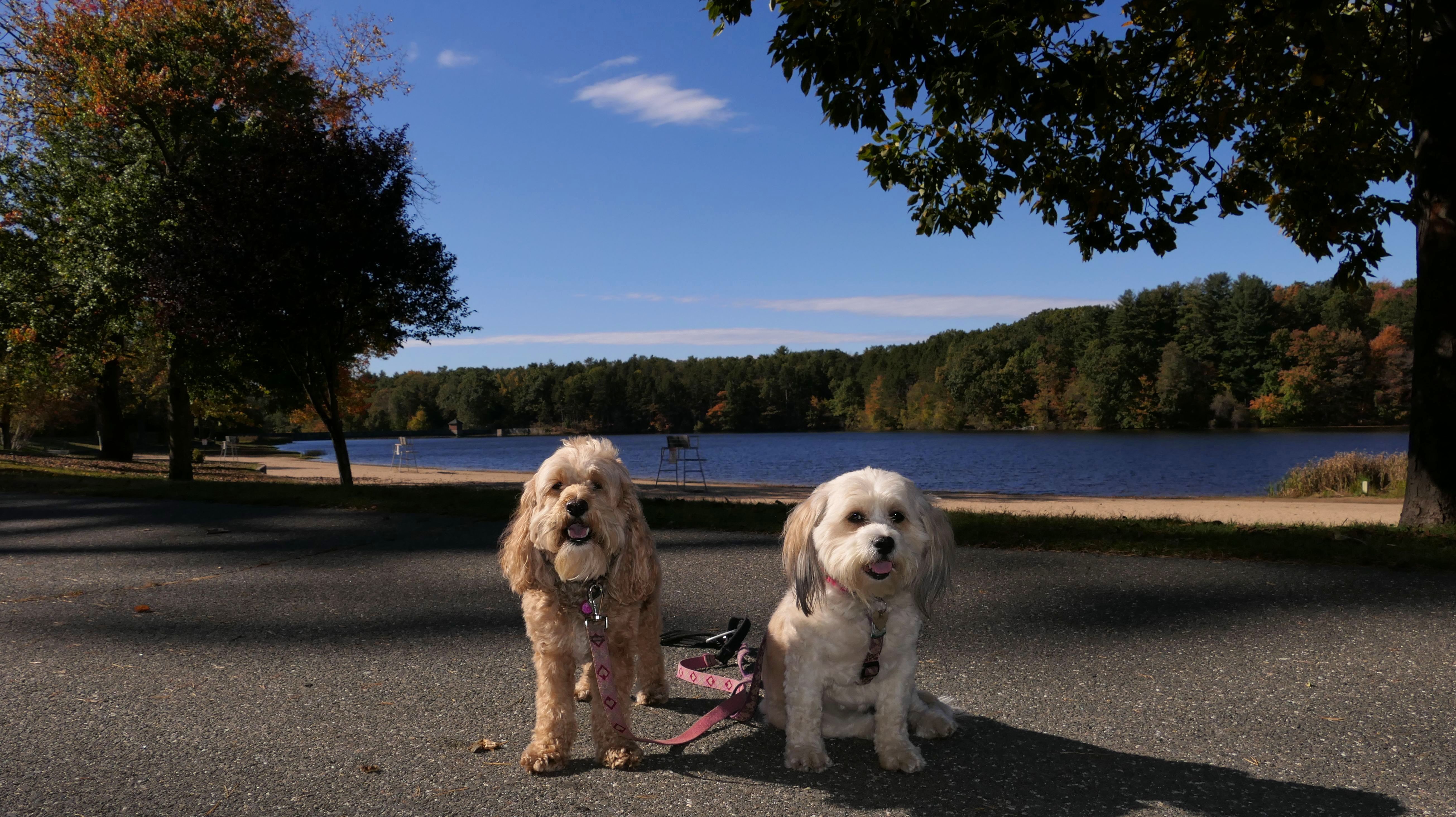
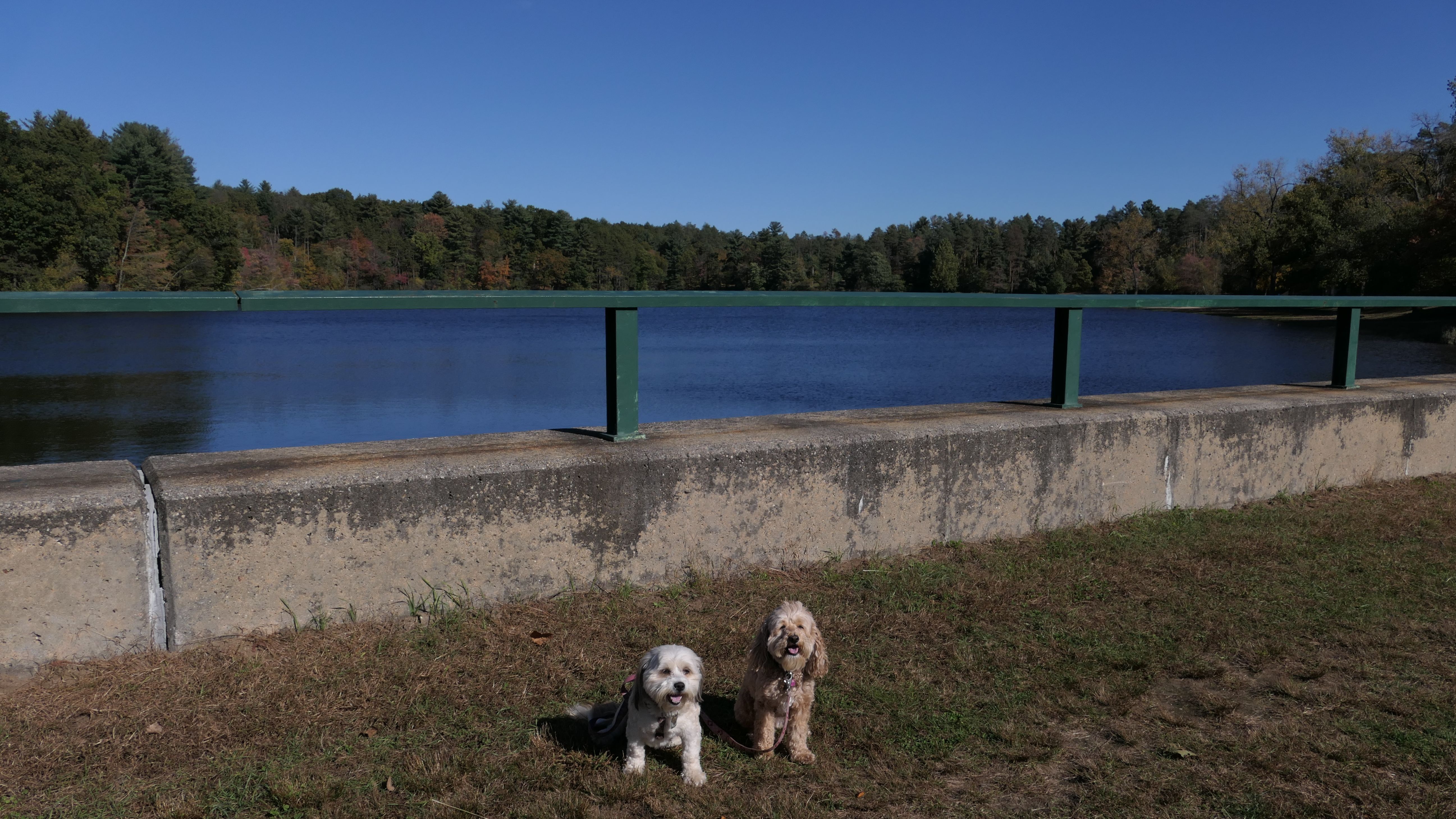
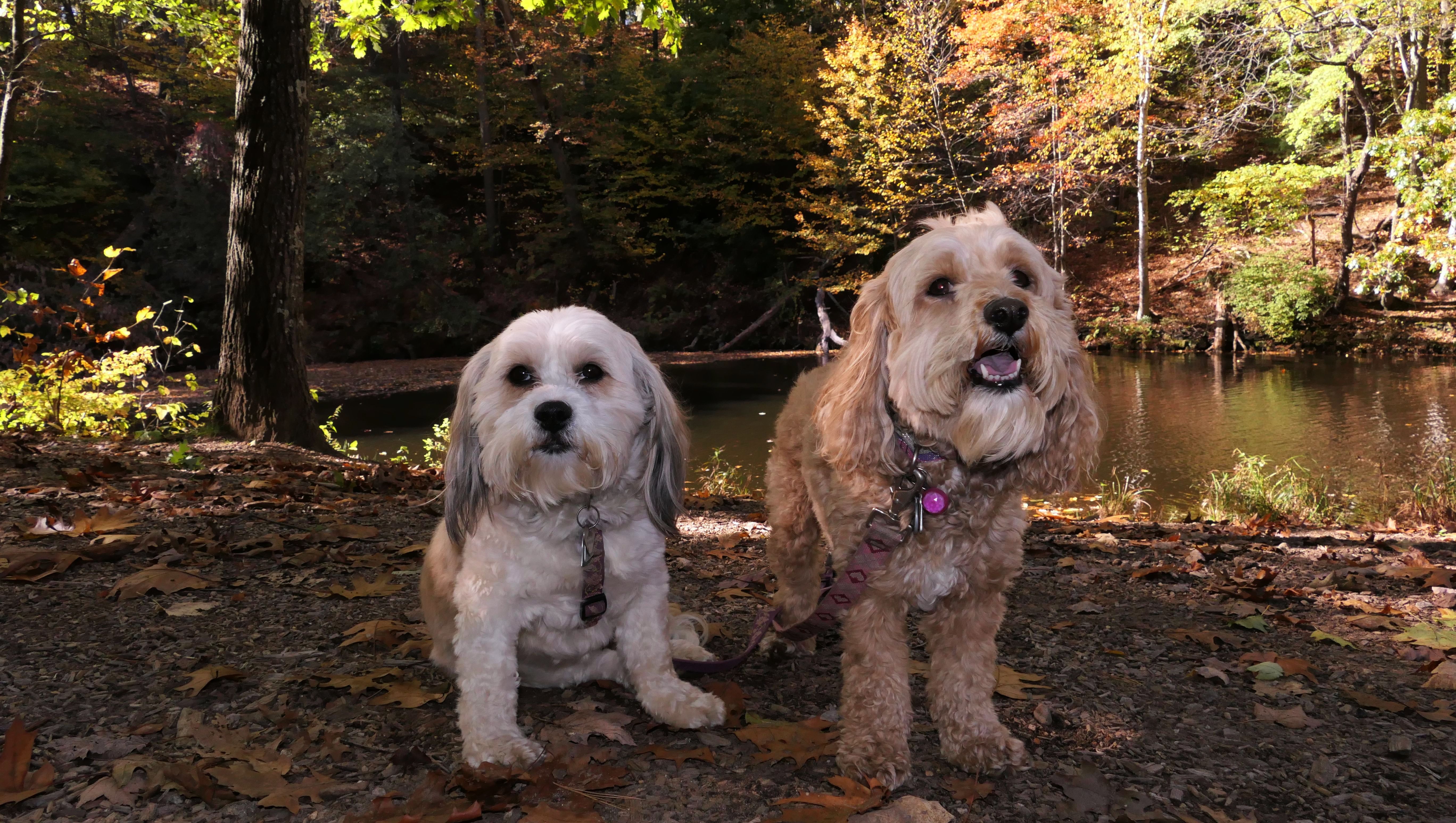
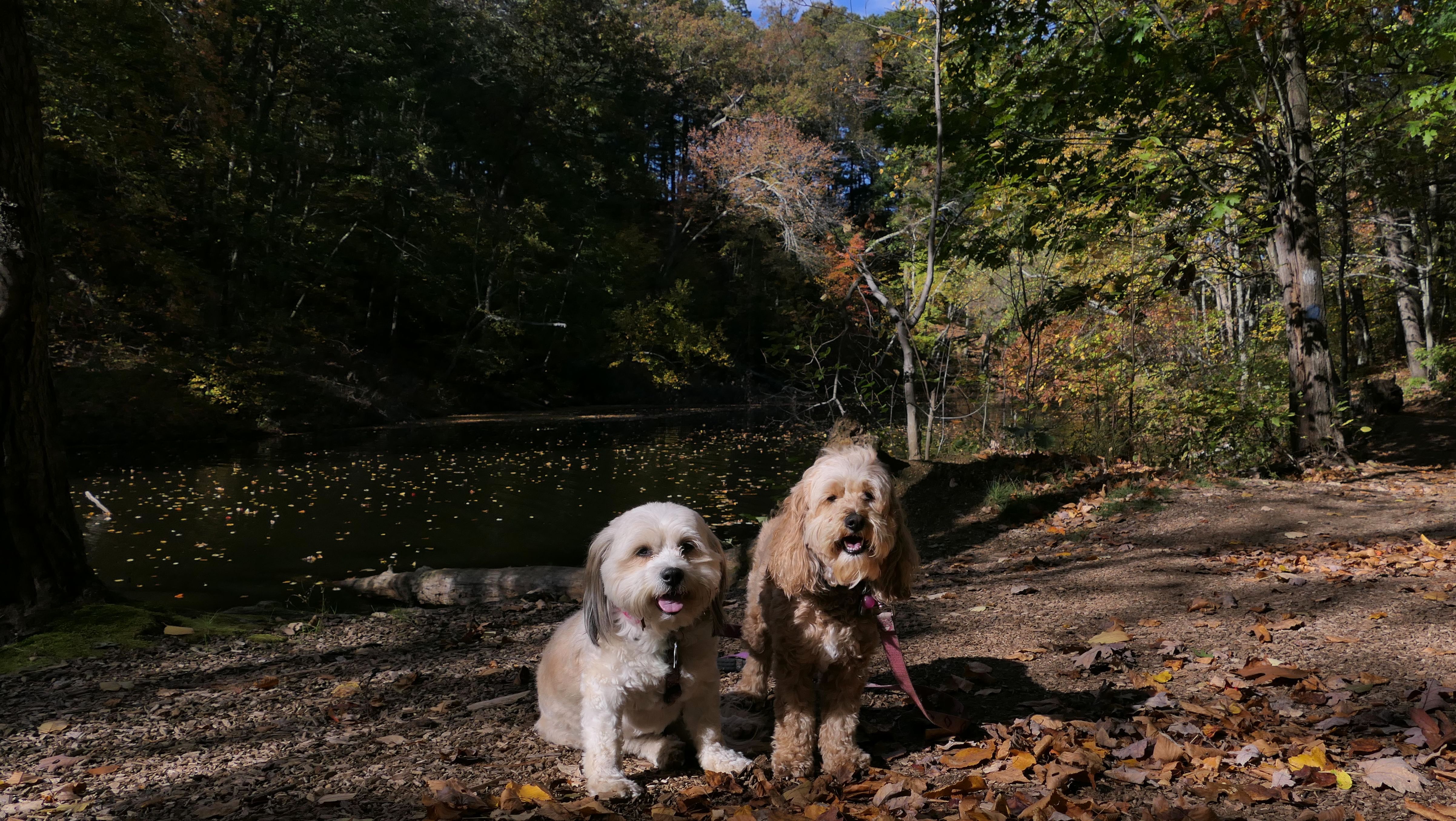
Memorial State Park
Date visited: 10/19/2021
We tried to go here a few weeks prior to this, but they wanted $30 for an out of state vehicle to park, so we went somewhere else that day. This time we parked at Williams Family Park and hiked a trail that connected to the State Park. The State Park is nice, but certainly not worth $30! I imagine the beach area is pretty popular. On our way back, we hiked a narrow trail that ran alongside a brook. It was a fun hike.

Williams
Family Park
Date visited: 10/19/2021
This is a town park, that borders Chicopee Memorial State Park. There's a stone dust walking path that circles the mostly open park. It has all the usual things you would normally find at a town park, athletic fields, playgrounds, etc. We used the park mainly to access the State Park.


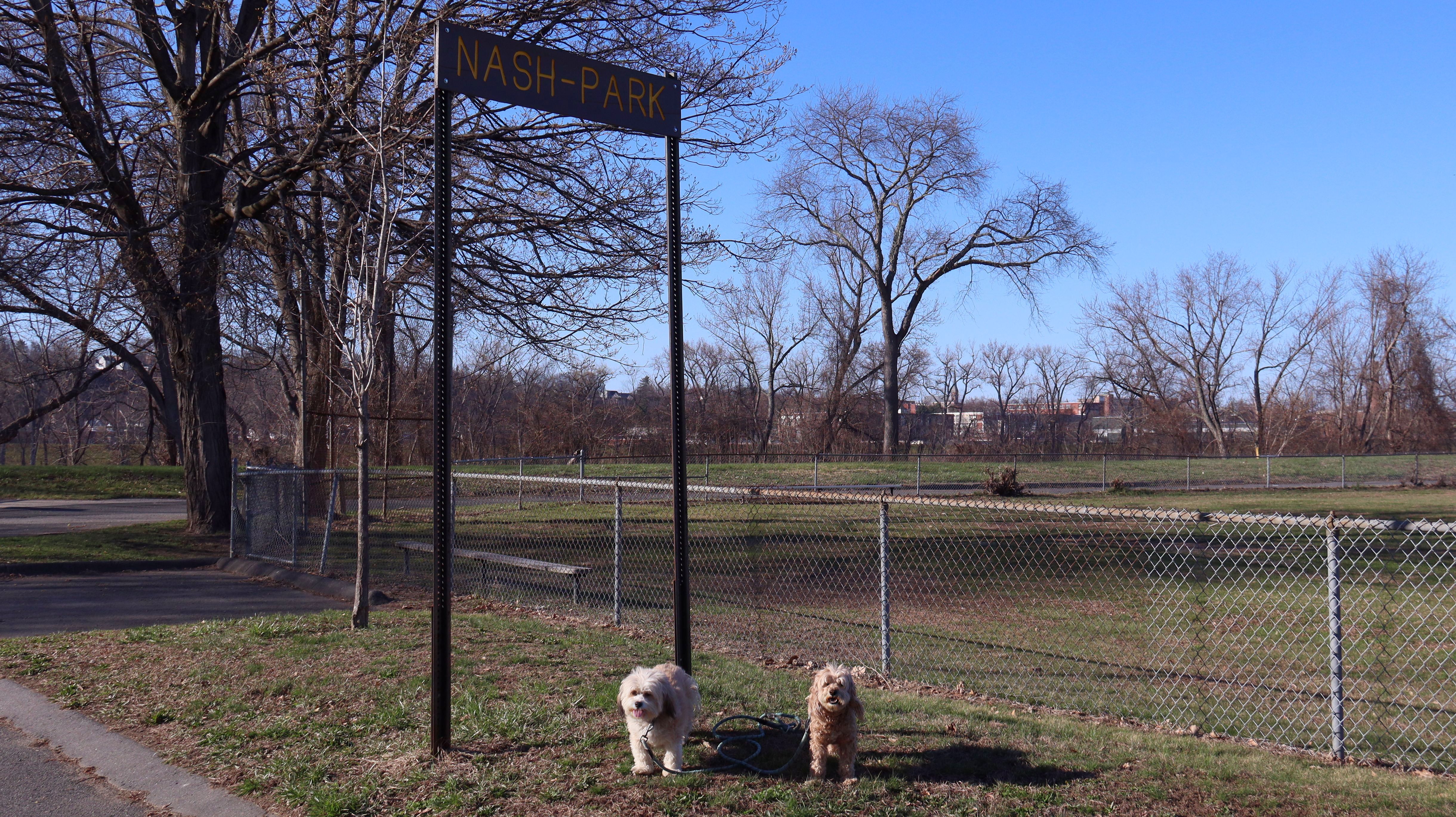
Connecticut RiverWalk & Bikeway
Date visited: 4/8/2026
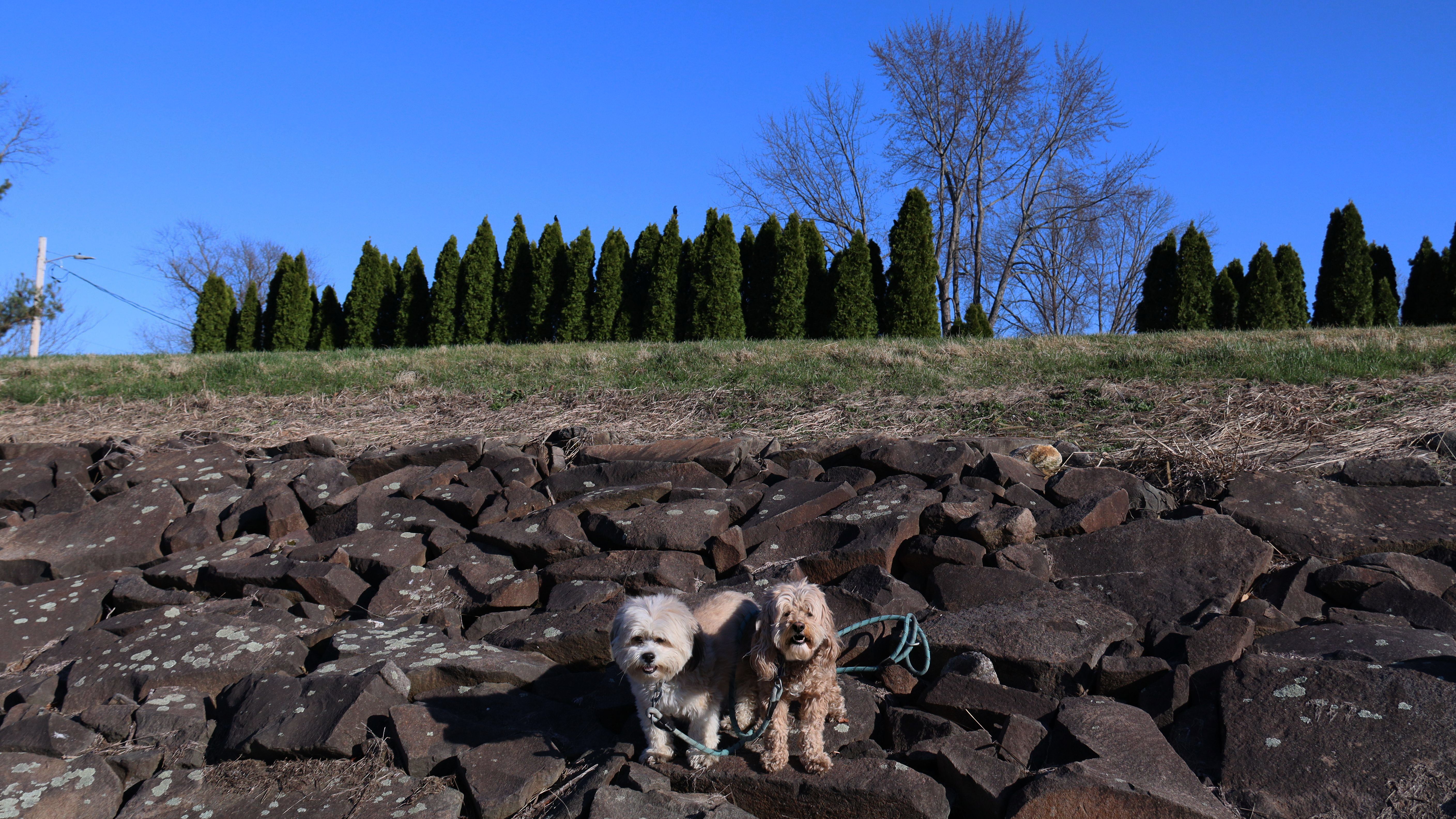
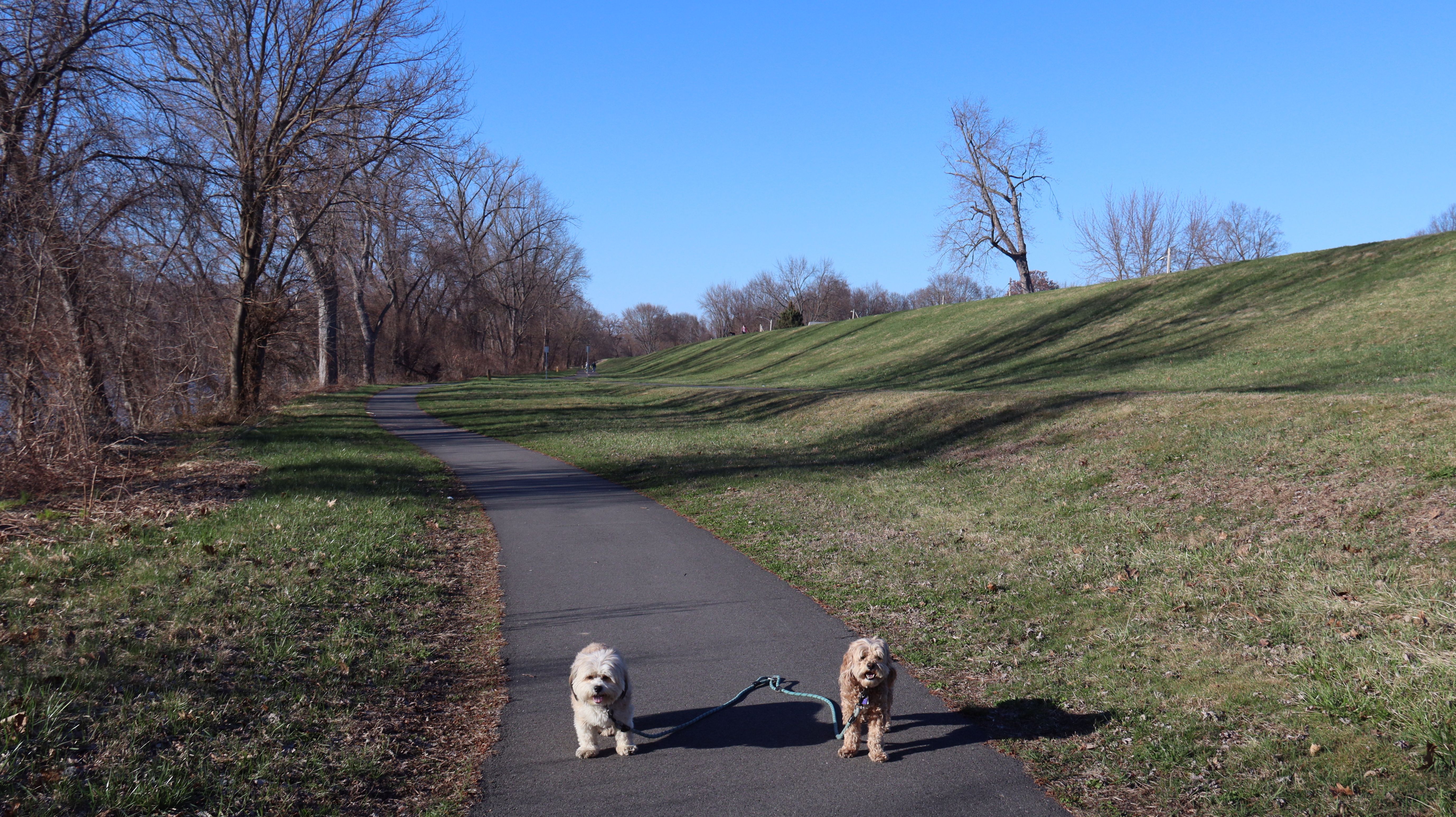
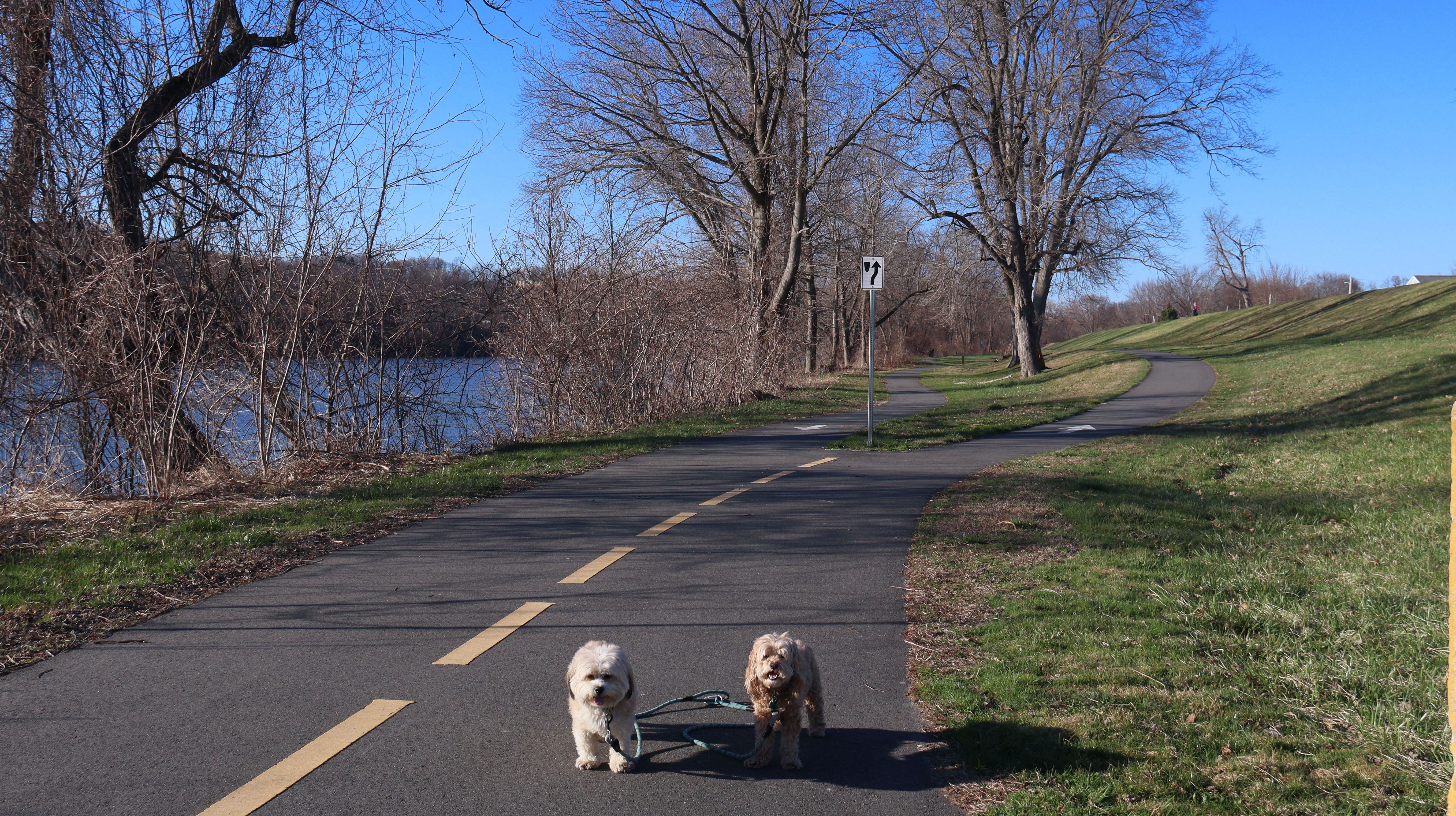
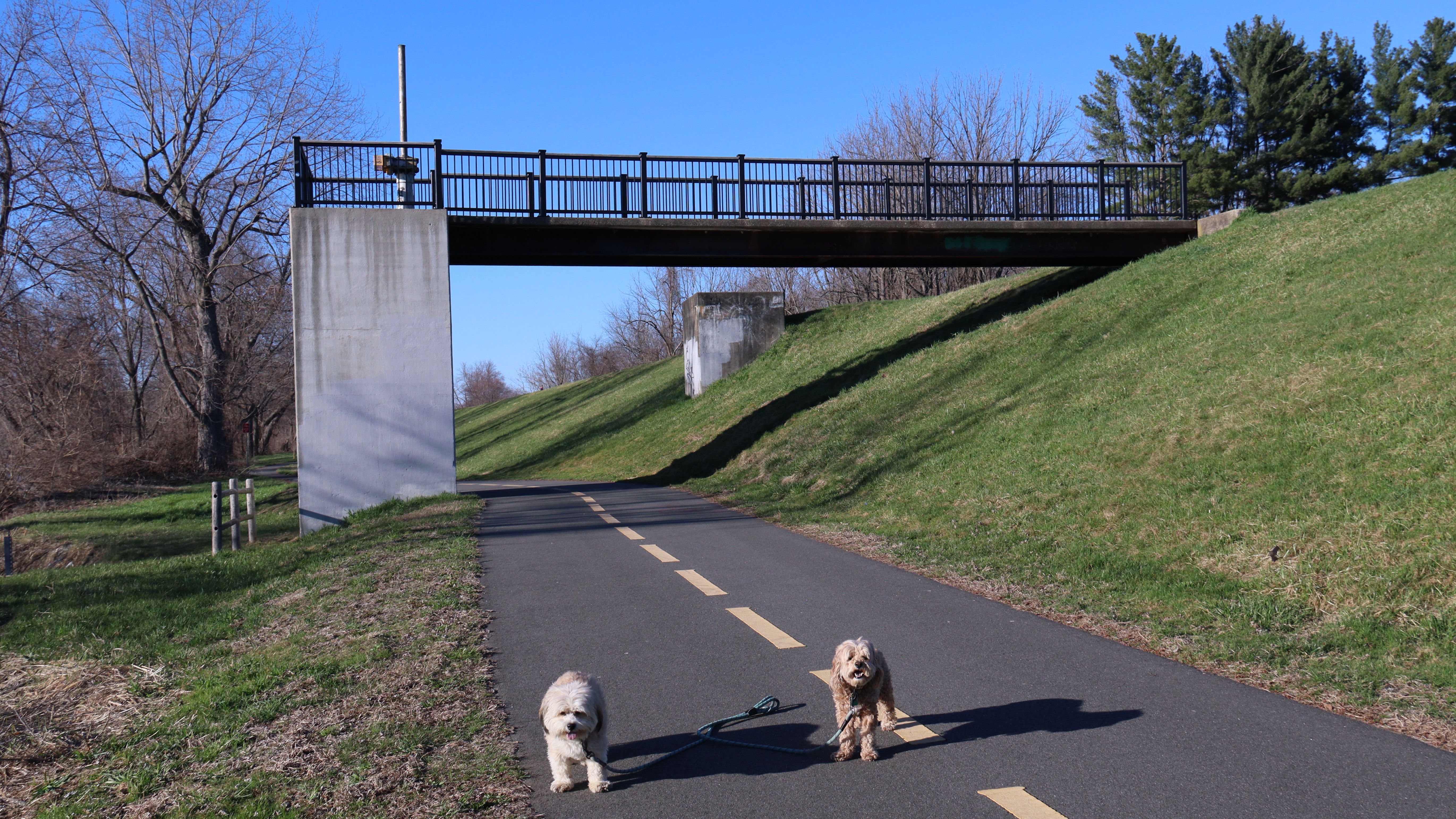
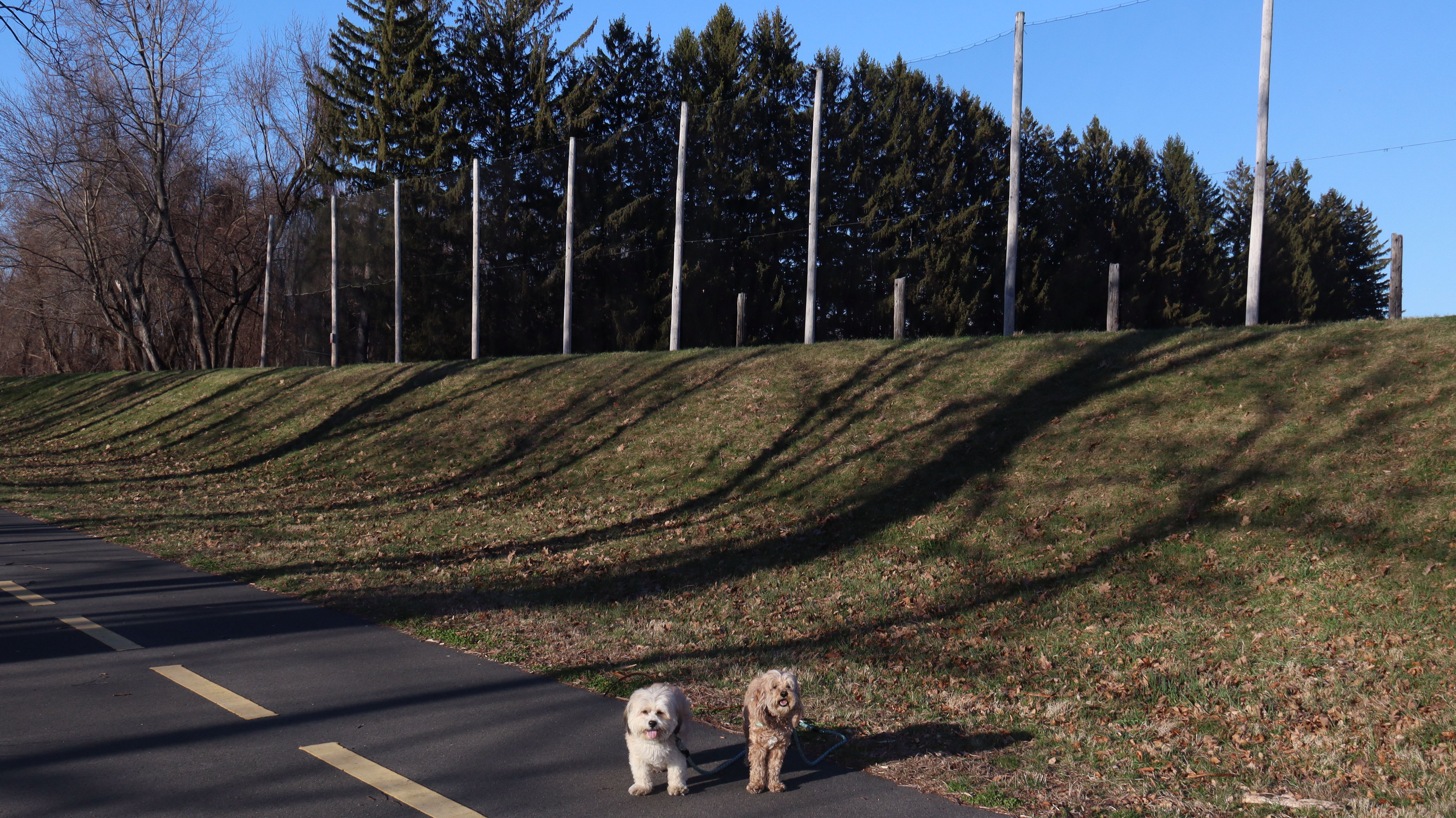
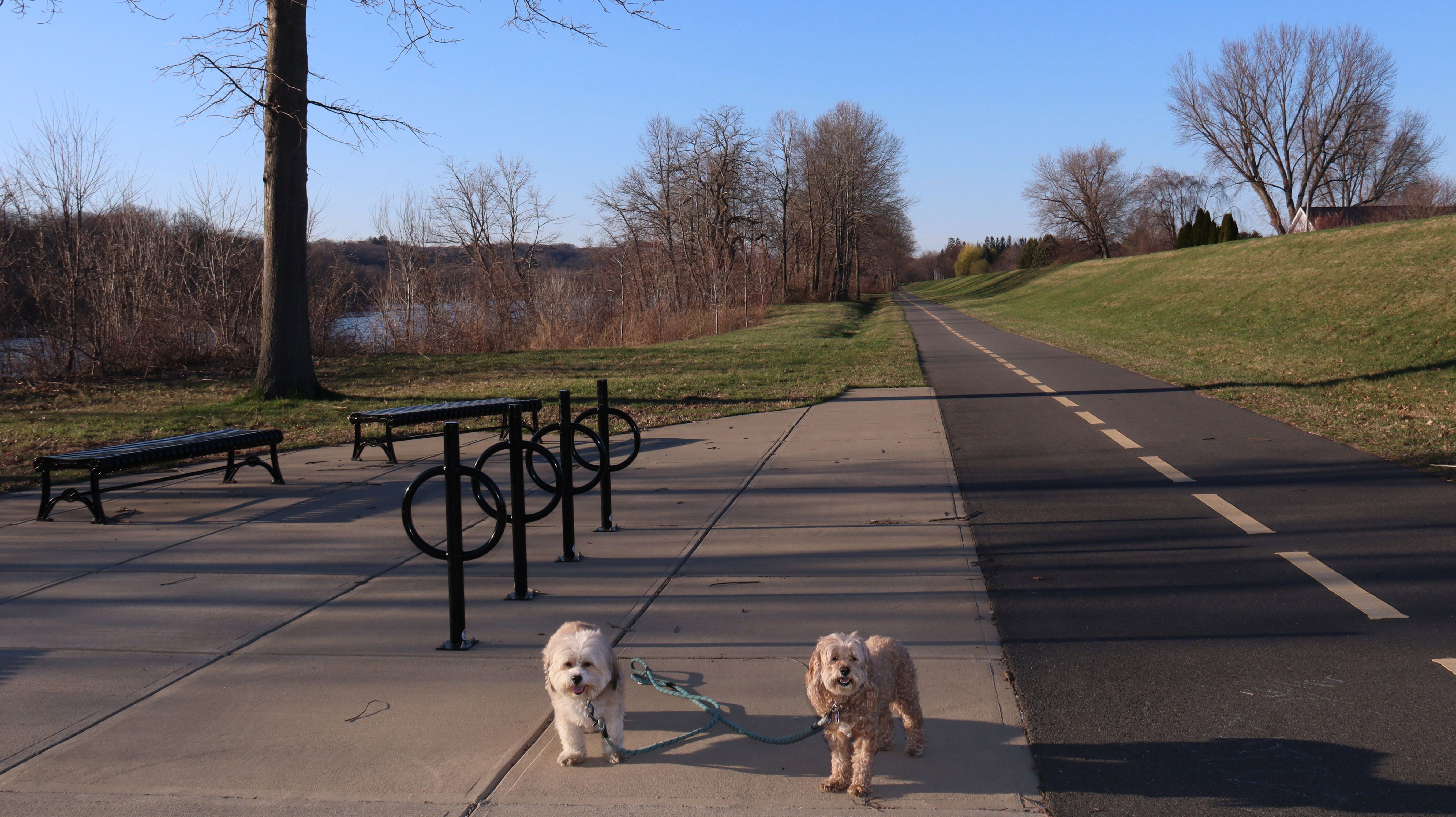
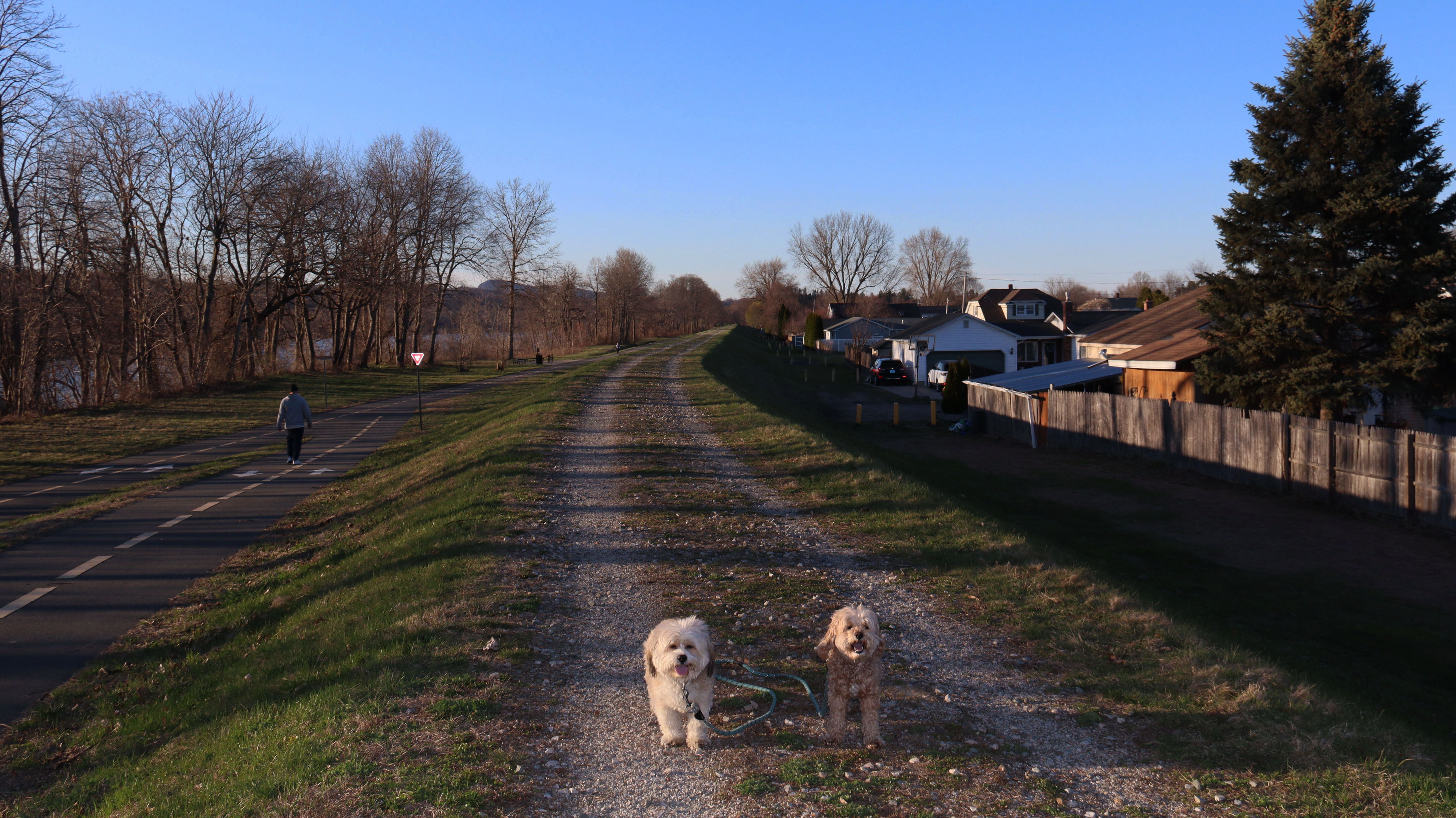
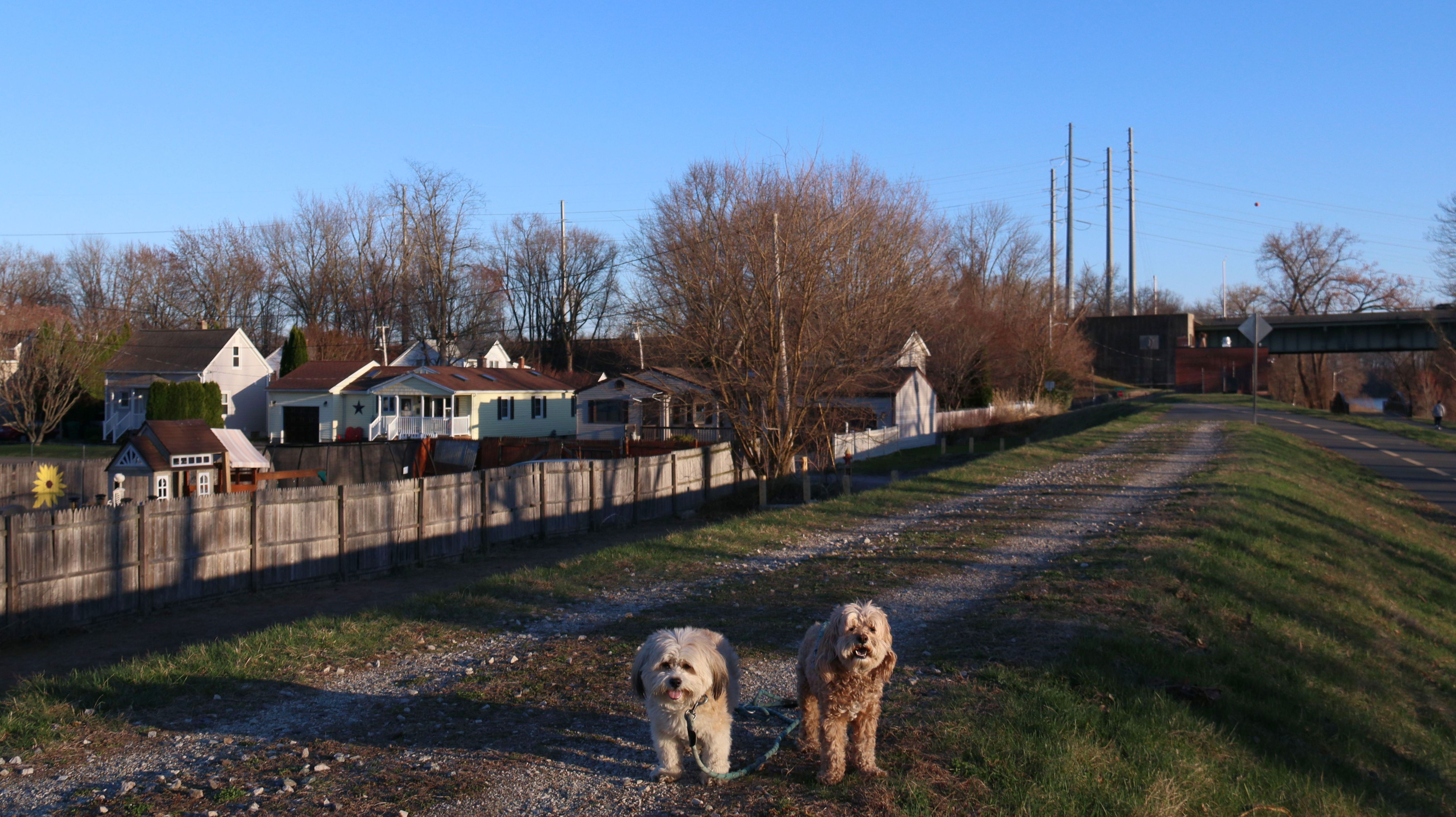
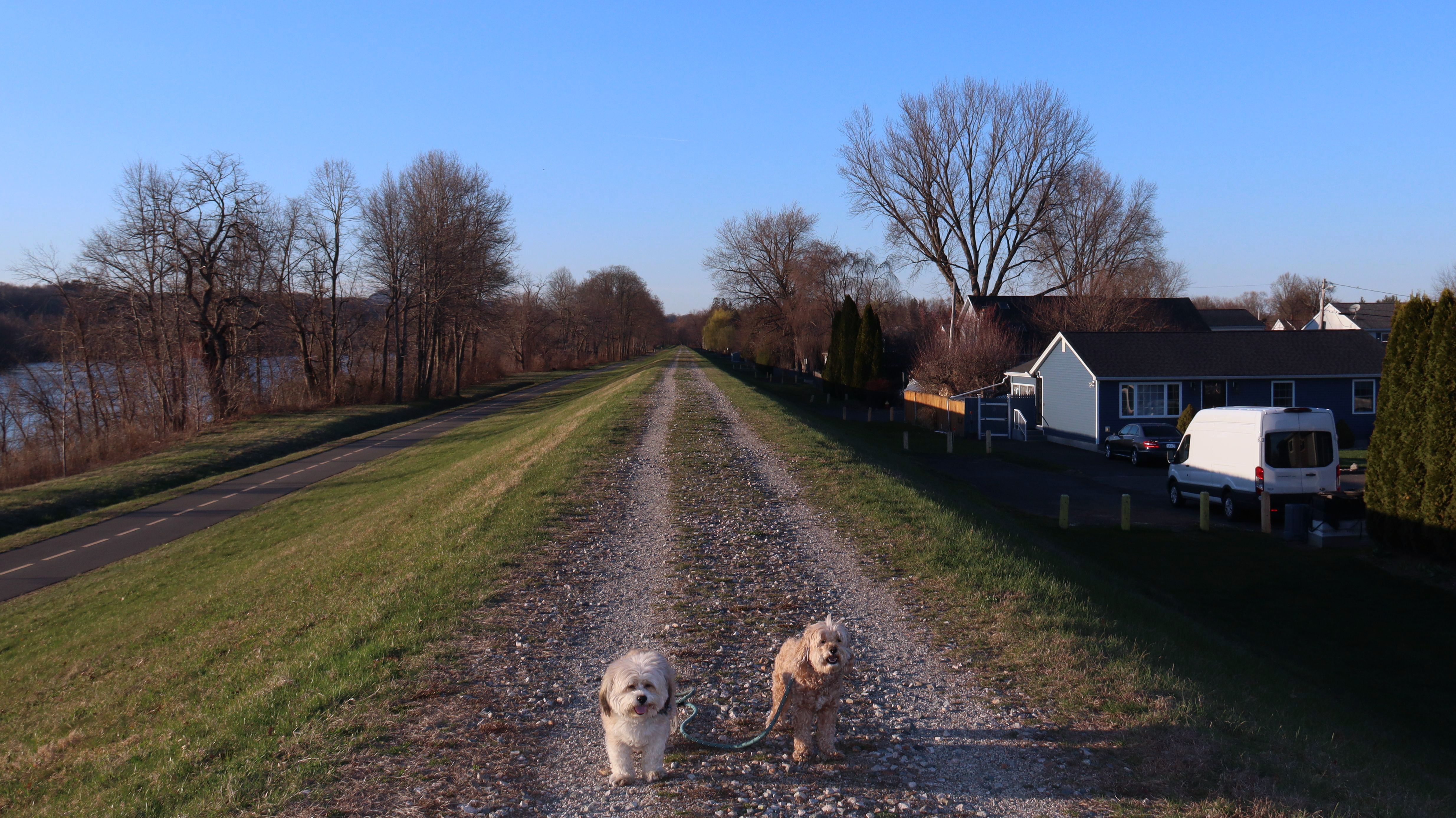
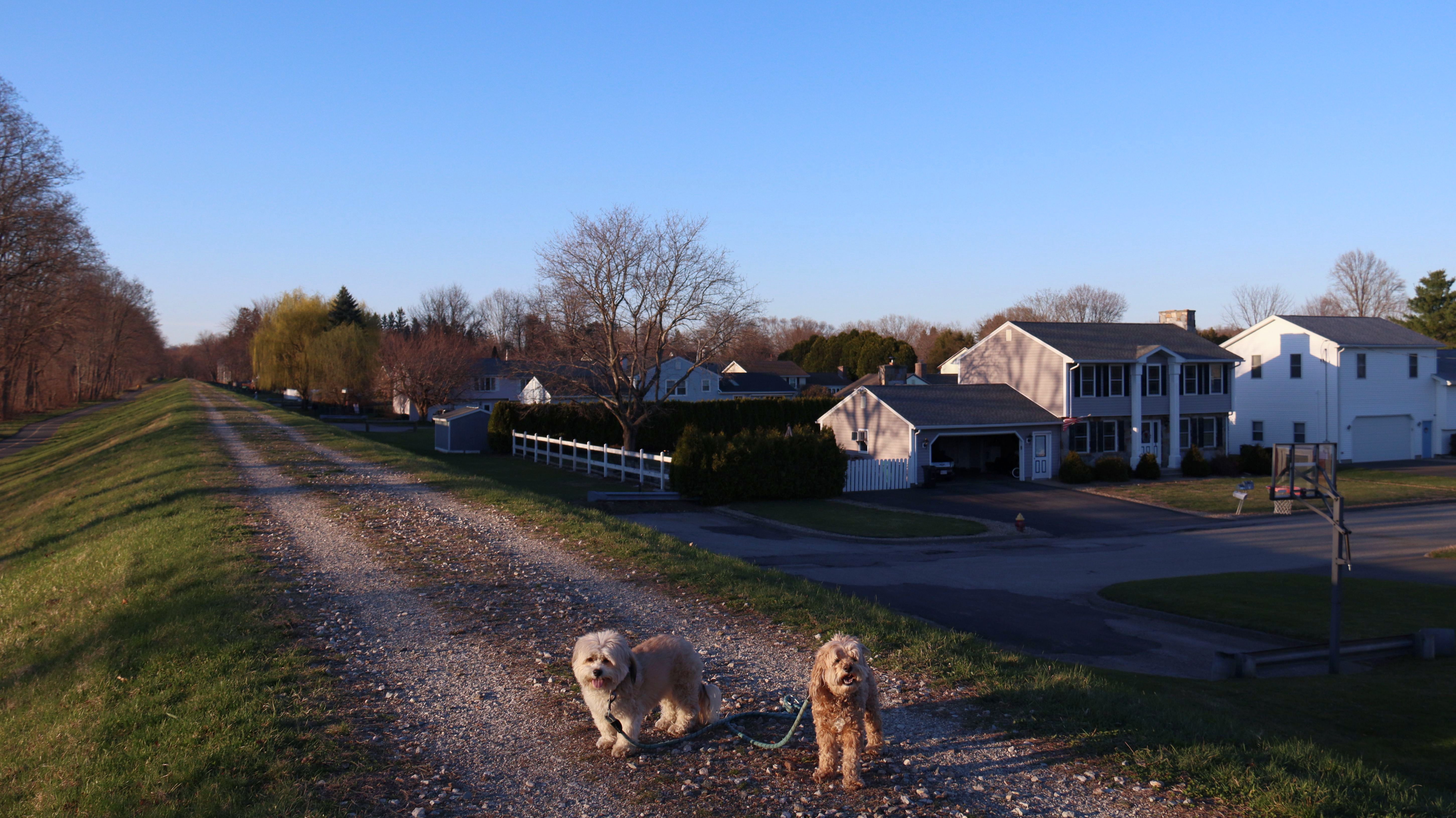
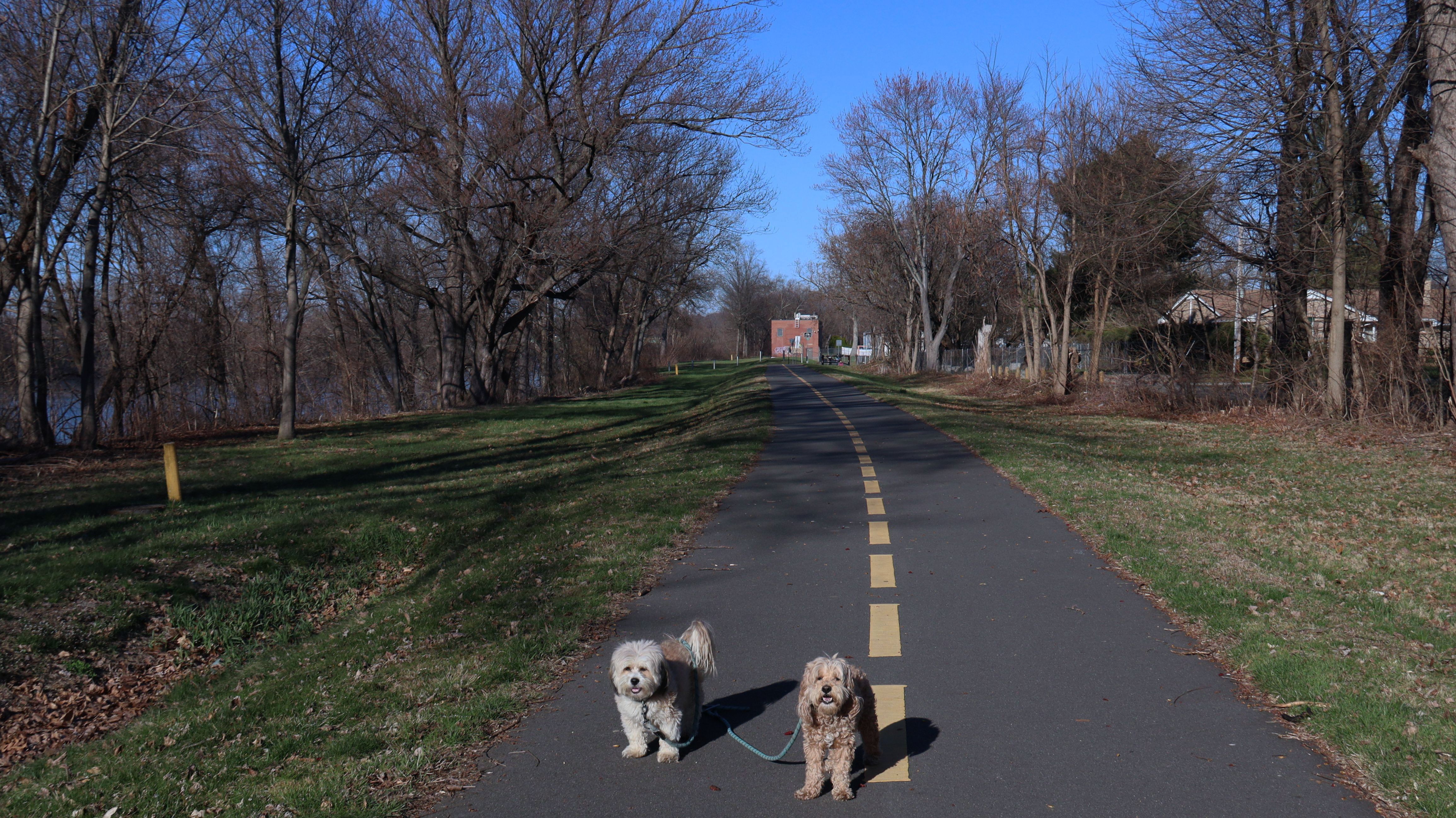
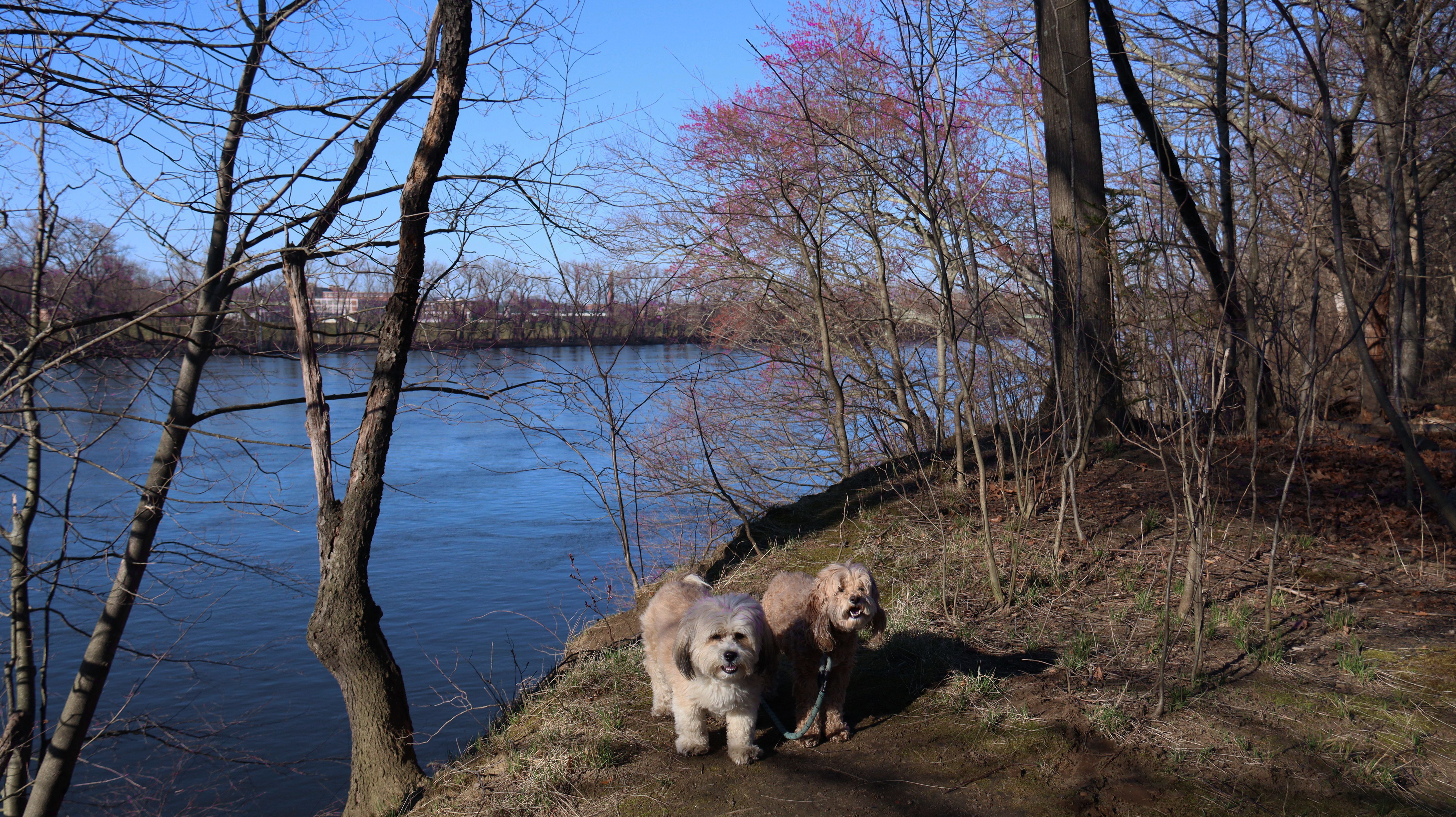
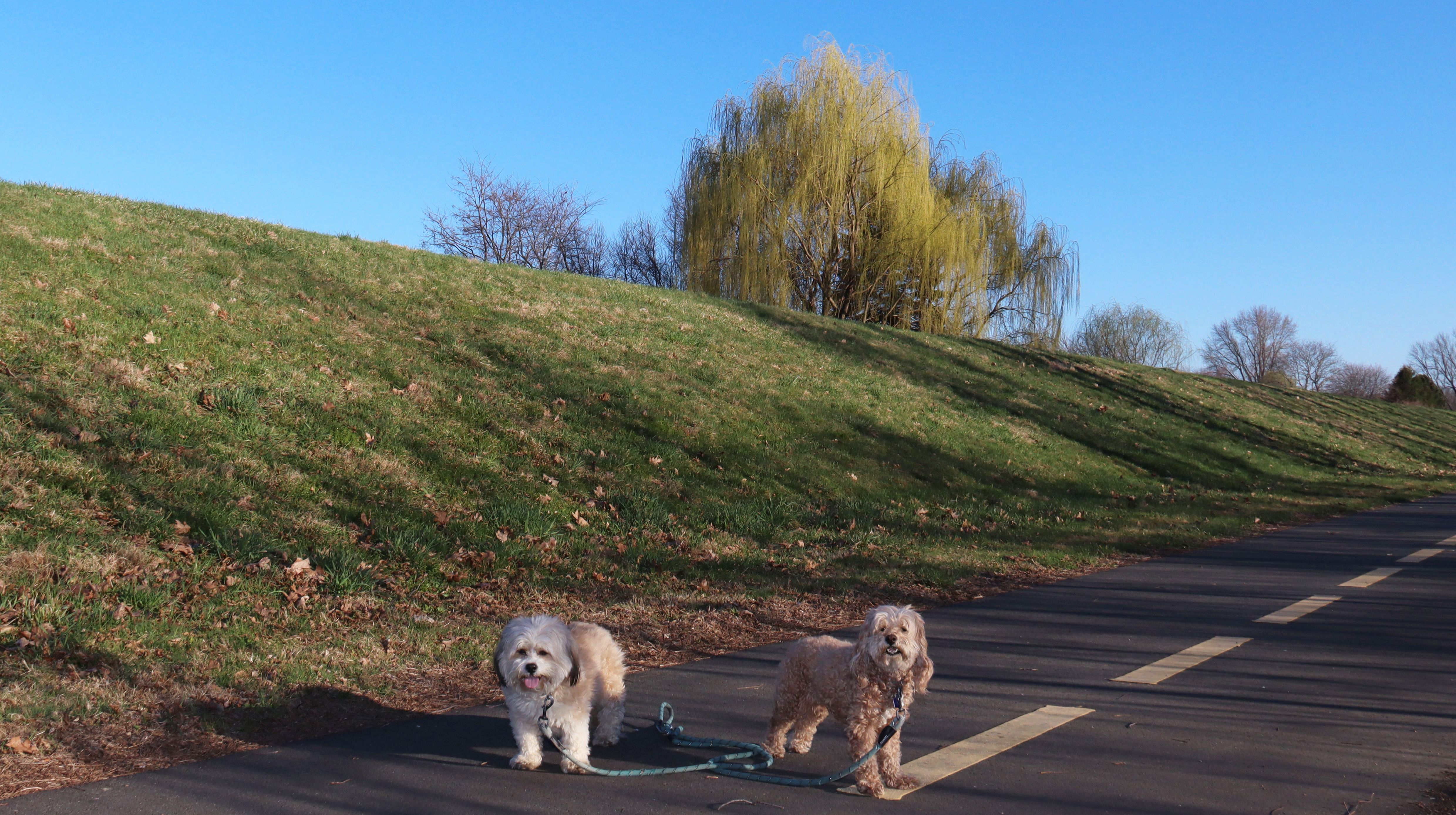
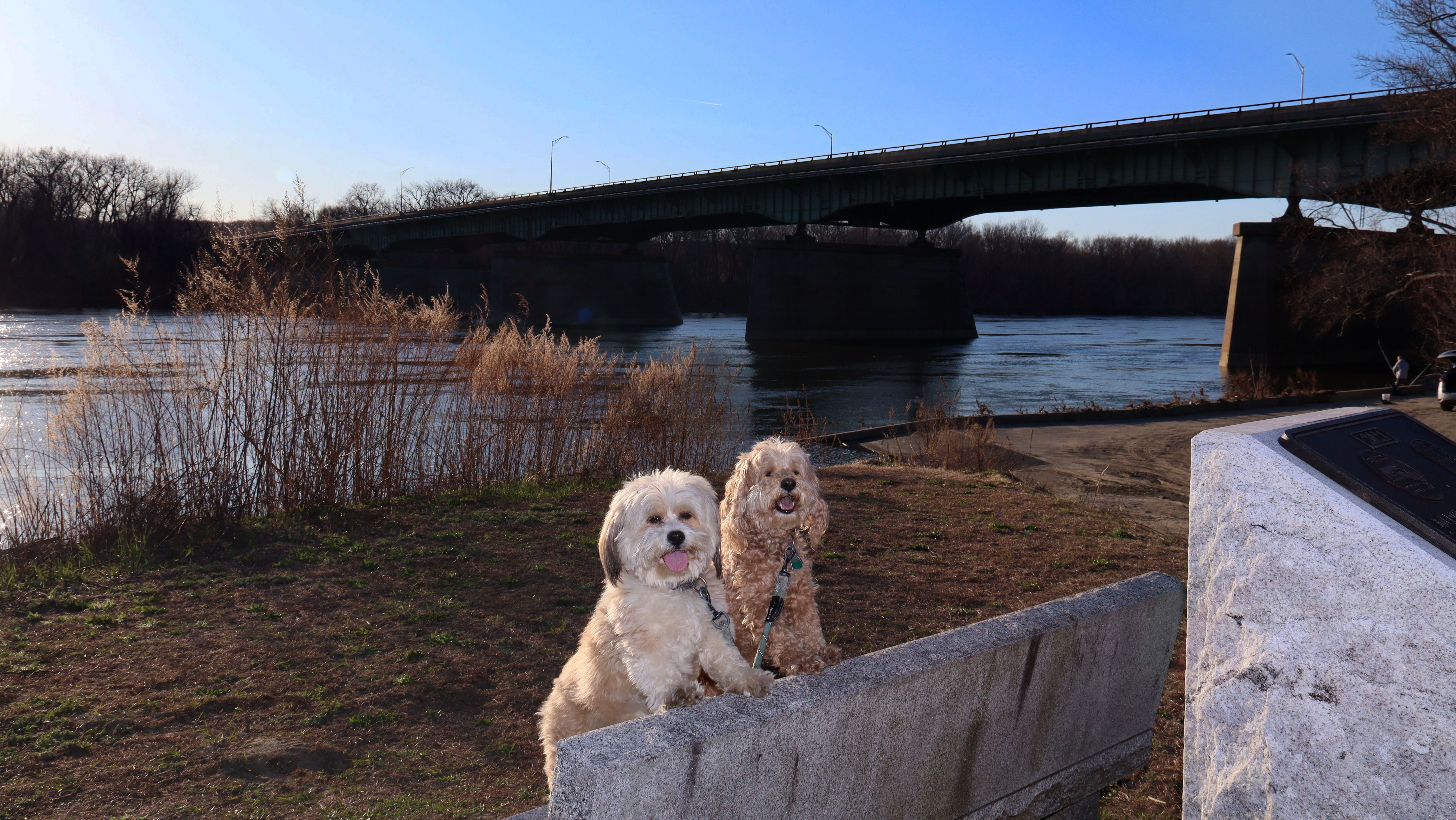
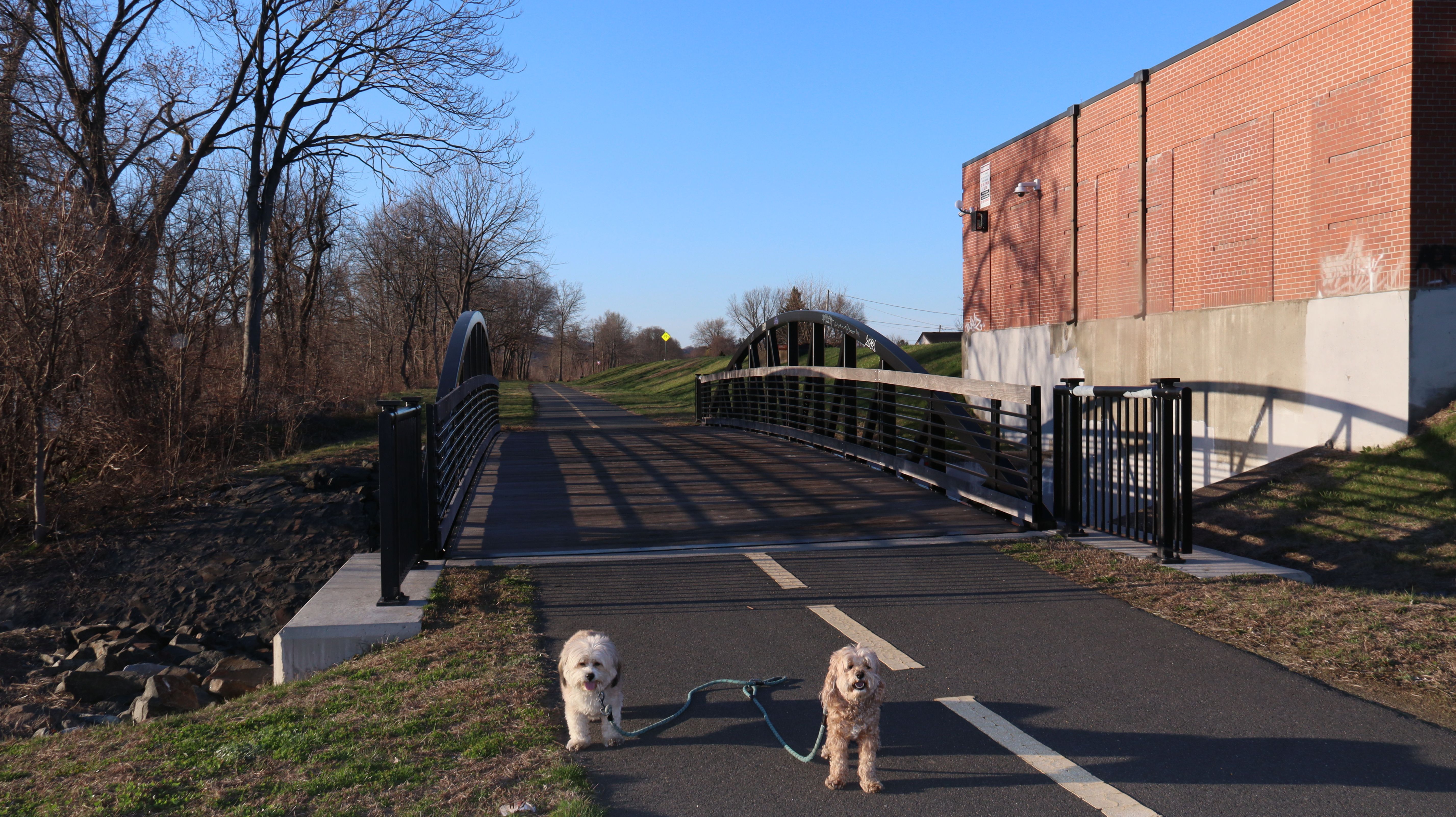
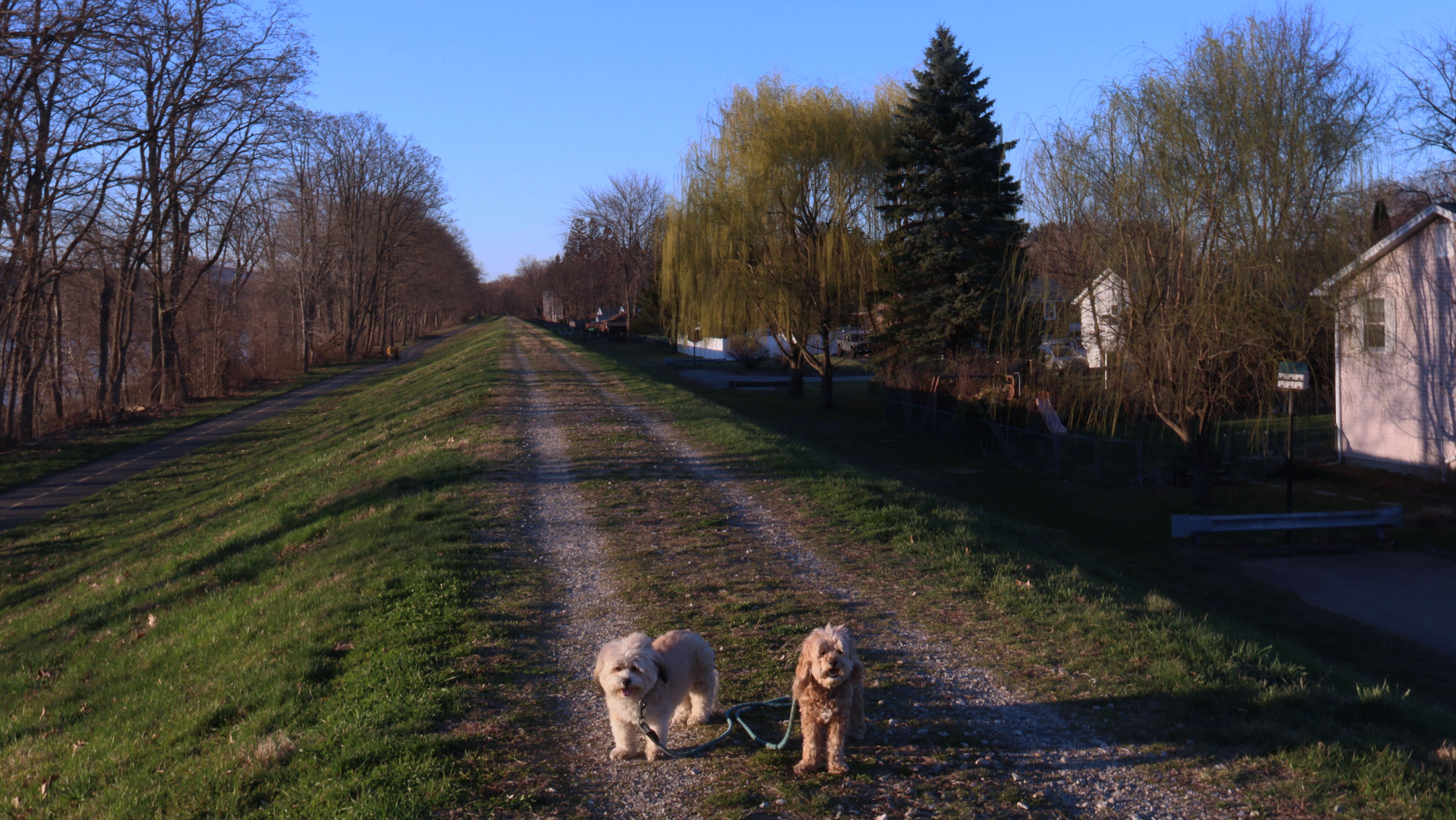
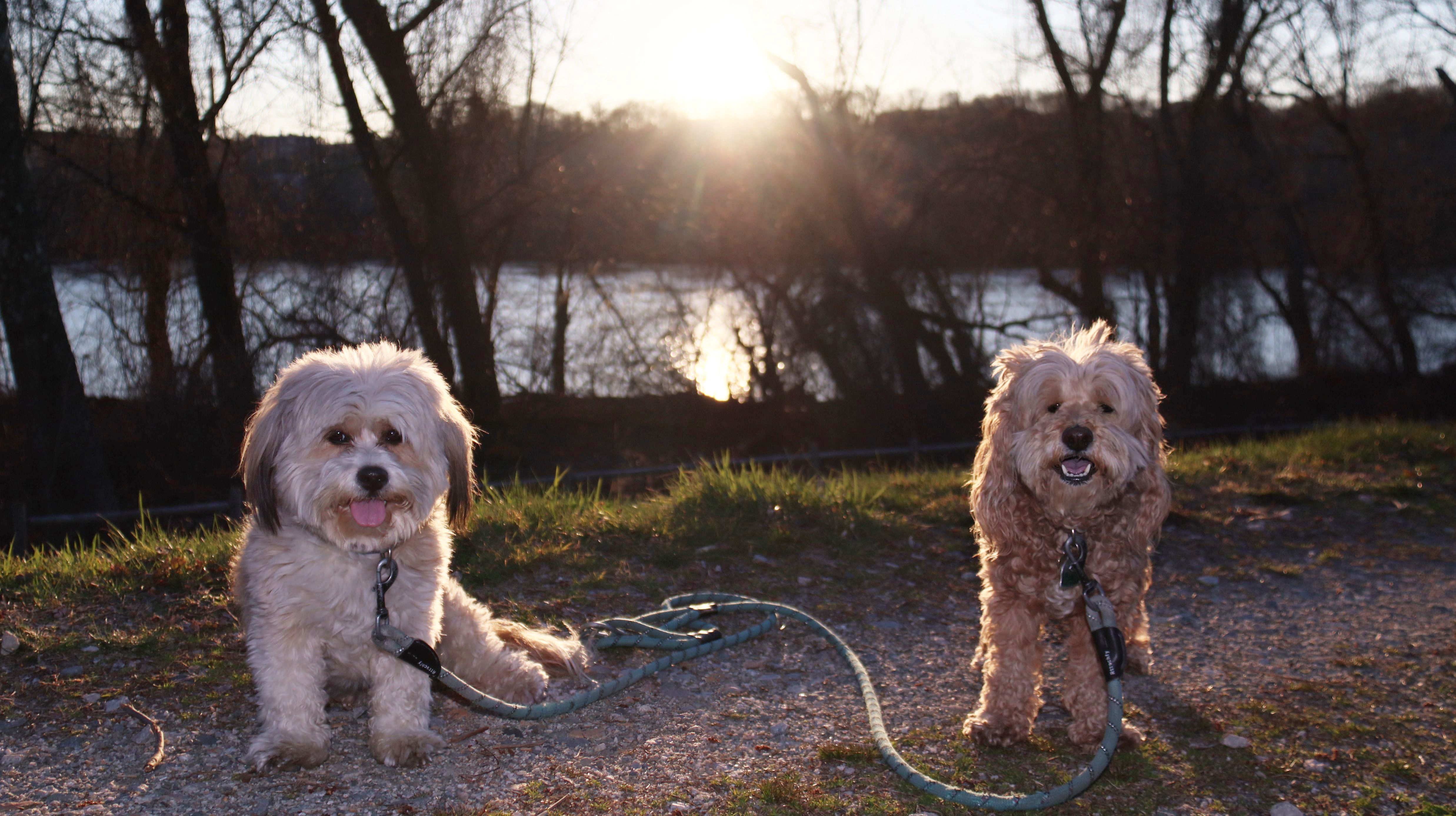
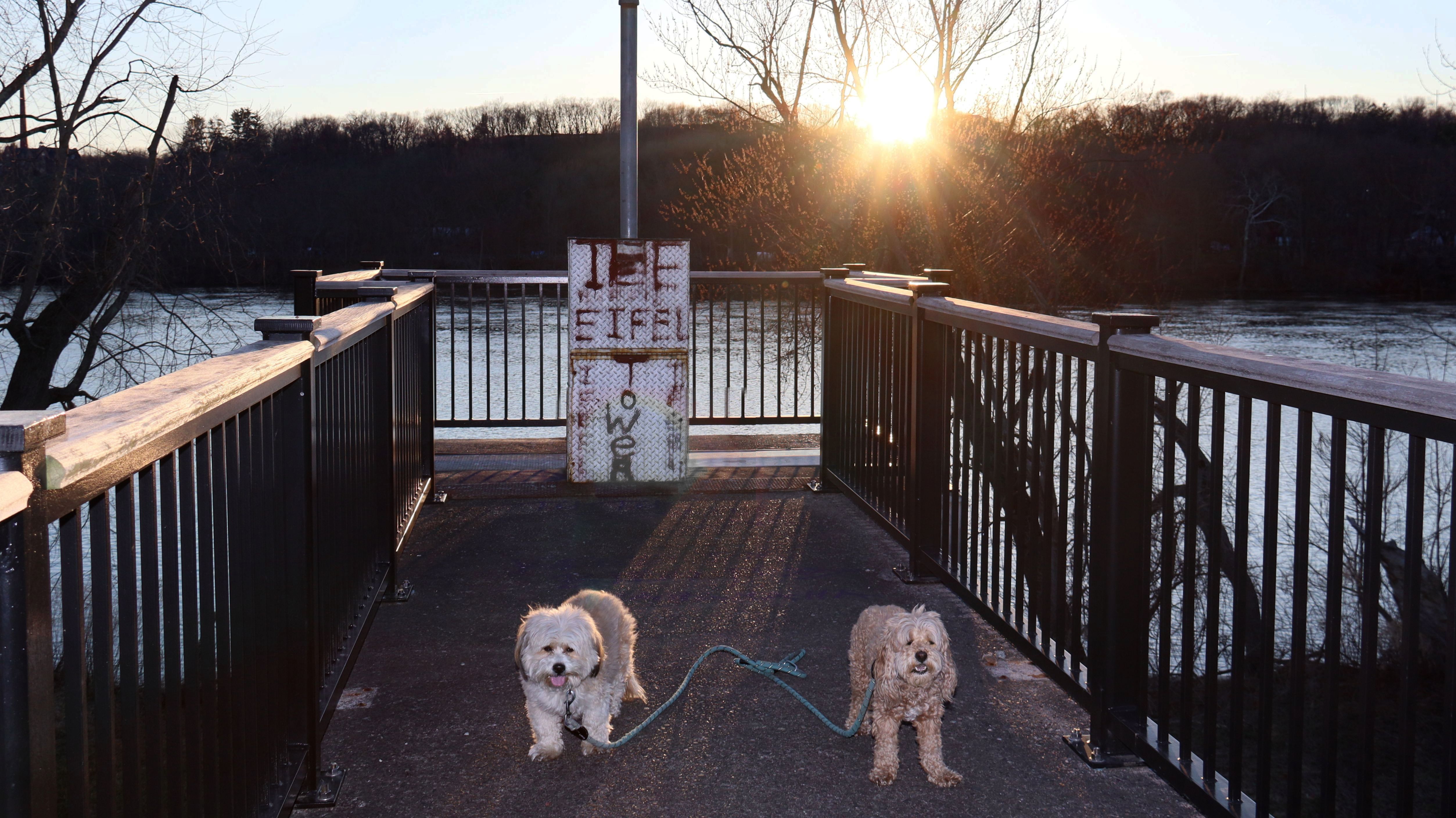
This is a pedestrian path that runs along the Connecticut River in Chicopee. The path runs from Nash Park south to the Medina Street Boat Launch. There are actually two separate paths, and upper and lower path. We started at Nash Park on the lower path, which is a standard paved bike path. It runs along the river, but access to the water is limited. There are a few side paths that get close to the water. There are trees between the river and the path that limit views, but there are still a few nice spots where you can see the river. The lower path actually splits in a couple of places, with "one way" lanes in either direction. We've walked hundreds of miles on bike paths, and this is the first time we've ever seen a bike path with one way lanes. After reaching the boat launch at the south end of the trail, we turned around and walked back on the upper path. This is a gravel path that runs along the top of a dike, with the paved path and river to the west, and neighborhoods viewable down below to the east. There are platforms that extend over the lower path in a few places, which provide nice views of the river. The entire trip out and back was about five and a half miles.
More Images